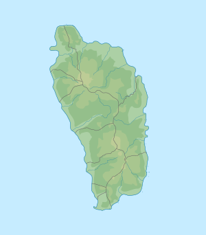
Boiling Lake
| Boiling Lake | ||
|---|---|---|

|
||
| Geographical location | Saint Patrick , Dominica | |
| Drain | to the Rivière Blanche | |
| Data | ||
| Coordinates | 15 ° 19 ′ 6 ″ N , 61 ° 17 ′ 39 ″ W | |
|
|
||
| Altitude above sea level | 780 m | |
| surface | changeable, depending on the water level | |
| Maximum depth | 59 m | |
The Boiling Lake is a lake 10.5 km east of the capital Roseau in Dominica . It lies at an altitude of 800 meters above sea level and is 59 meters deep. With a diameter of 60 meters, Boiling Lake is the second largest thermal spring in the world; only Frying Pan Lake in New Zealand is larger .
The lake is fed by two smaller tributaries and by rainwater.
In 1870 the lake was examined for the first time by Messrs Watt and Nicholls, two Englishmen who were working in Dominica at the time. In 1875 H. Prestoe and Nicholls were commissioned to explore the lake more closely. They found that the temperature on the shore of the lake is between 82 and 91.5 ° C. But they could not measure the lake in the middle, where the water of the lake is boiling. The lake is also one of the sources of one of Dominica's main rivers, the Rivière Blanche .
Individual evidence
- ↑ geoview.info .
- ↑ geonames.org .
- ↑ tourism.gov.dm .
