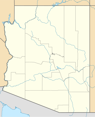
Cabeza Prieta Mountains
| Cabeza Prieta Mountains | ||
|---|---|---|
| Highest peak | unnamed point ( 863 m ) | |
| location | Arizona ( USA ) | |
|
|
||
| Coordinates | 32 ° 21 ′ N , 113 ° 49 ′ W | |
The Cabeza Prieta Mountains ( Spanish Sierra de la Cabeza Prieta ) are a mountain range in the southwest of the US state Arizona . They are located in the Sonoran Desert in Yuma County directly on the border with Mexico and have a northwest-southwest extension of about 39 kilometers. The mountain range takes up the entire western part of the Cabeza Prieta National Wildlife Refuge .
The highest point of the Cabeza Prieta Mountains is unnamed and 863 m high. Other peaks are the Cabeza Prieta Peak ( 780 m ), Buck Peak ( 801 m ), Sierra Arida ( 529 m ) and the Zeugenberg Tordillo Mountain ( 661 m ), which is located in the southwest of the mountain range.
