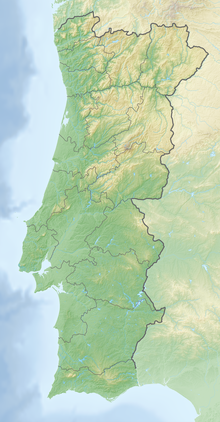
Cabo Carvoeiro
Coordinates: 39 ° 24 '32 " N , 9 ° 21' 33.5" W.
Cabo Carvoeiro is a headland or cape shaped by cliffs on the Portuguese Atlantic coast, west of the city of Peniche on the Peniche peninsula of the same name.
A lighthouse has stood on the headland since 1790. The current structure was built in 1886 and is approx. 26 m high. The beacon is located about 56 m above sea level and has a range of about 15 nautical miles. In front of the cape are some rocky cliffs, including the so-called Nau dos Corvos ( crow ship ). Further west in the Atlantic Ocean lies the small group of islands called the Berlengas .

