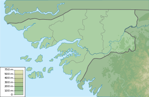
Carache (Guinea-Bissau)
| Carache (Guinea-Bissau) | ||
|---|---|---|
| General map of the Bissagos Archipelago | ||
| Waters | Atlantic Ocean | |
| Archipelago | Bissagos Archipelago | |
| Geographical location | 11 ° 29 ′ N , 16 ° 14 ′ W | |
|
|
||
| length | 18.7 km | |
| width | 7.3 km | |
| surface | 80 km² | |
| main place | Binte | |
| Management card | ||
Carache or Caraxe is an island in the northwest of the Bissagos Archipelago , Guinea-Bissau .
geography
Carache is in the Caravela sector . The main island of the same name in the sector is located 1,100 meters west of Carache and is separated from it by the Canal de Ninquim . The closest island, however, is the uninhabited small Ilha dos Porcos , which is 450 meters southwest of Carache.
Carache is 18.7 km long from southwest (Ponta Anebá) to northeast (Ponta de Ampincha), and a maximum of 7.3 km wide. It measures 80 km² in area.
The villages of Ampincha , Cuchame , Tingaga and Binte are all in the northern half of the island. The main town is Binte, which is close to the center.


