Caravela
| Caravela | ||
|---|---|---|
| Caravela | ||
| Waters | Atlantic Ocean | |
| Archipelago | Bissagos Archipelago | |
| Geographical location | 11 ° 35 ′ N , 16 ° 17 ′ W | |
|
|
||
| surface | 128 km² | |
| Residents | 10,510 82 inhabitants / km² |
|
| main place | Betelhe | |
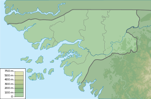
| Map of the Bissagos Archipelago with Caravela | ||
Caravela is the northernmost island of the Bissagos Archipelago , which belongs to Guinea-Bissau . The island is almost entirely covered with mangrove forests. The white, sandy and clean beaches are worth seeing.
Along with other islands, it belongs to the Caravela administrative sector .
facts and figures
- Area: 128 km²
- Coastline: 56 km
- Distance to the next island: 1 km
- Distance to the mainland: 37 km
- ICAO code : GGCV


