Ciro Redondo (Municipio)
| Ciro Redondo | ||
|---|---|---|
|
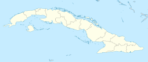
Coordinates: 22 ° 1 ′ N , 78 ° 42 ′ W Ciro Redondo on the map of Cuba
|
||
| Basic data | ||
| Country |
|
|
| province | Ciego de Ávila | |
| Residents | 28,370 | |
| Detailed data | ||
| surface | 569 km 2 | |
| Population density | 49.8 inhabitants / km 2 | |
| height | 45 m | |
| prefix | +53 - 43 | |
| Time zone | UTC -5 | |
Ciro Redondo is a municipality and a city in the Cuban province of Ciego de Ávila . The town of Ciro Redondo is roughly halfway between Ciego de Ávila and Morón .
The municipality has 28,370 inhabitants on an area of 569 km², which corresponds to a population density of around 50 inhabitants per square kilometer.
Individual evidence
- ↑ Guia turistica de Ciego de Avila - Jardines del Rey. hicuba.com; Retrieved August 17, 2008
