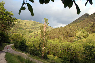
Col de Grimone
| Col de Grimone | |||
|---|---|---|---|
|
|
|||
| Compass direction | west | east | |
| Pass height | 1318 m | ||
| Department | Drôme | ||
| Watershed | Ruisseau de Grimone | Lunel | |
| Valley locations | Châtillon-en-Diois | Les Lussettes | |
| expansion | Pass road | ||
| profile | |||
| Ø pitch | 3.40% (748 m / 22 km) | 5.6% (248 m / 4 km) | |
| Max. Incline | 9.2% (on km 17) | 8% (on km 2) | |
| Map (Drôme) | |||
|
|
|||
| Coordinates | 44 ° 41 '30 " N , 5 ° 39' 14" E | ||
The Col de Grimone is a 1318 m high pass in the Alps. It connects the valleys of the Bès and Bochaine rivers and the towns of Châtillon-en-Diois and Lus-la-Croix-Haute , both in the Drôme department .

