Diego Ramírez Islands
| Diego Ramírez Islands | ||
|---|---|---|
| Diego Ramírez Islands | ||
| Waters | Drake Street | |
| Geographical location | 56 ° 30 ′ S , 68 ° 43 ′ W | |
|
|
||
| Main island | Isla Bartolomé, Isla Gonzalo | |
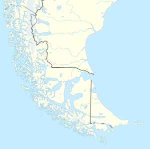
| Map of the Diego Ramirez Islands | ||
The Diego Ramírez Islands ( Spanish Islas Diego Ramírez ) are a group of small islands about 100 km southwest of Cape Horn and 93 km south-southeast of the Ildefonso Islands and belong to Chile .
They were first sighted on February 12, 1619 by the Spaniards Bartolomé García de Nodal and named after Diego Ramírez de Arellano . Diego Ramírez was the geographer on the expedition. Until the discovery of the South Sandwich Islands in 1775, they were the most southern known islands.
In 1951, the Chilean Navy set up a weather station above Caleta Condell, a small bay on the northeast coast of Gonzalo Island. This station at about 56.5 ° south latitude is the southernmost manned outpost in South America, even if the South Sandwich Islands are still included in South America, since the Argentinian station Corbeta Uruguay there on Morrell Island (Thule) after the Falklands War in June 1982 by the British Navy was destroyed. A supply ship comes several times a year. Cruise ships occasionally stop there on their way to Antarctica .
The islands are breeding grounds for seabirds such as the black- browed albatross ( Thalassarche melanophris ).


