Dinara
| Dinara | ||
|---|---|---|
|
View over Knin to the Dinara |
||
| height | 1831 m. i. J. | |
| location | Zagora , Croatia | |
| Mountains | Dinaric mountains | |
| Dominance | 8.7 km → Veliki Bat | |
| Coordinates | 44 ° 3 '45 " N , 16 ° 22' 58" E | |
|
|
||
| particularities | highest mountain in Croatia | |
The Dinara (1831 m) is the highest mountain in Croatia .
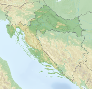
The Dinara is located on the border between Croatia and Bosnia-Herzegovina in the Zagora , not far from the city of Knin . At the foot of the mountain and in the immediate vicinity is the town of Kijevo on the Croatian side . From this place you can see the imposing mountain in its total size.
The Dinara is not only one of the numerous peaks of the Dinaric Mountains , but rises independently from the landscape. The people from the area around Kijevo also call the mountain peak Sinjal , based on the word signal and the surveying pillar located on the top. The entire mountain is only sparsely overgrown. There are trees almost only in the lower part of the mountain. The shortest way to the summit leads from the village of Glavas up the southern flank. It is technically easy and well marked, but quite long with around 1300 meters of altitude (+/- 4h ascent).
As a highlight of the country, the Dinara has become a popular destination for local and international mountaineers.

