Doppelkuppe
| Doppelkuppe | ||
|---|---|---|
|
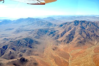
Doppelkuppe on the horizon of the left half of the picture (2017) |
||
| Highest peak | 1862 | |
| location |
Hardap , Namibia |
|
|
|
||
| Coordinates | 25 ° 34 ′ S , 16 ° 12 ′ E | |
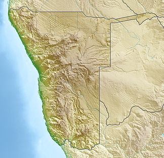
The Doppelkuppe is a mountain in the Hardap region in southwestern Namibia . It reaches a height of 1862 m . The Doppelkuppe is located about five kilometers west of the D707 and about 13 km west of the main road C27 on the eastern edge of the Namib .
Web links
Commons : Doppelkuppe - collection of images, videos and audio files
- Doppelkuppe, on PeakVisor (English)
Individual evidence
- ↑ a b Namibia Travel Map . Kunth-Verlag, Munich 2017, ISBN 978-3-95504-578-4 .

