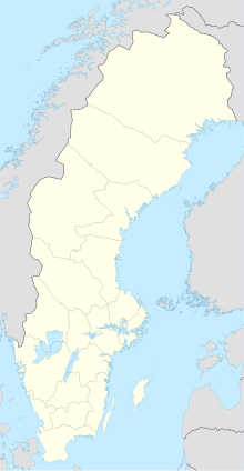
Dröstorp
Coordinates: 56 ° 35 ′ 29 ″ N , 16 ° 33 ′ 14 ″ E
Dröstorp was a village on the Swedish island of Öland in the Baltic Sea . The village, located in the northern part of the barren landscape of the Stora Alvaret , was abandoned by its inhabitants at the end of the 19th century because of the poor living conditions.
location
The Dröstorp desert can be reached via two old paths leading through the Alvar from Ekelunda and Skarpa Alby . Some ruins of cattle sheds and an old draw well remind of the former village. The Björnflisan rune stone is located north of the village .
history
The area was already settled in prehistoric times. In addition to the rune stone, megalithic graves and traces of old paths indicate that it was used by humans. Dröstorp was founded in the middle of the 18th century. The increase in population increased the pressure to use unfavorable areas for agriculture. The Dröstorps mosse moor south of the village was used to harvest sedge , which served as winter fodder for the animals. Old barrows from the Iron Age were used as earth cellars. At the beginning of the 19th century there were 4 farms with a total of 30 residents. But even this rather small number turned out to be too much for the very poor soils of the Alvar. At the end of the 19th century, the residents gradually left Dröstorp. Many emigrated entirely from Öland or Sweden. The last resident was the unskilled worker Carl Fredrik Jonsson from Mörbylånga who then left the place. Shortly before the turn of the 20th century, Dörstorp had become desolate after around 150 years. The former houses were dismantled at the end of the 19th century and reused elsewhere.
Today the location is overgrown with trees and bushes. At the time of Dröstorp's existence, however, the landscape was completely bare, as it was heavily used by grazing, growing plants and collecting wood.
literature
- Thorsten Jansson, Welcome to Stora Alvaret , Kalmar Provincial Government 1999, ISBN 91-973802-1-0 , page 20 f.
