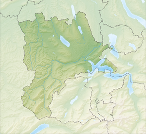
Egolzwilersee
| Egolzwilersee | ||
|---|---|---|

|
||
| Geographical location | Canton lucerne | |
| Places on the shore | Egolzwil | |
| Data | ||
| Coordinates | 642 473 / 226 101 | |
|
|
||
| Altitude above sea level | 496 m above sea level M. | |
| surface | 0.033 km² | |
| Maximum depth | 8 m | |
The Egolzwilersee is a small lake west of the eponymous municipality Egolzwil in the Swiss canton of Lucerne .
description
The Egolzwilersee lies at 496 m above sea level. M. and has an area of around 3.3 hectares. The lake has no outflow and is the remnant of what was once the great Wauwilersee , which was drained in 1853 and which today forms the Wauwilermoos . After the drainage, the remains of Stone Age settlements were discovered in Wauwilermoos while peat was being extracted .
Nature reserve
The Egolzwilersee is now privately owned and is largely surrounded by reeds and bushes. The lake has been under nature protection since 1969 because of its rare plants in the shore area .
Web links
- Egolzwilersee on schweizersee.ch
Individual evidence
- ↑ Swisstopo: map viewer . Retrieved May 2, 2019.
