Gahinga
| Gahinga | ||
|---|---|---|
|
Gahinga (left) and Muhabura , on the border between Rwanda and Uganda |
||
| height | 3474 m | |
| location | Uganda / Rwanda border | |
| Mountains | Virunga volcanoes | |
| Coordinates | 1 ° 23 '14 " S , 29 ° 38' 37" E | |
|
|
||
| Type | Stratovolcano | |
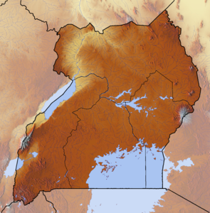
The Gahinga is a mountain in Uganda and the smallest of the volcanoes in the Virunga range . The summit area is characterized by a large crater in which an Afro-Alpine swamp landscape has formed. The summit is on the border between Rwanda and Uganda.
It can currently (as of December 2005) only be climbed from Uganda (Mount Mahinga National Park). The ascent takes about three hours and is only possible in the company of approved guides who are available at the Mount Mahinga headquarters at any time. There are park entrance fees and mountain climbing fees to be paid (approx. US $ 20 each). The ascent leads first over an open, very fertile lava area, then into a bamboo forest and then into the typical Afro-Alpine floral landscape that extends to the edge of the crater.

