Gebel al-Ain
| Gebel al-Ain | ||
|---|---|---|
|
Western slope of the Gebel al-Ain |
||
| height | 570 m | |
| location | Ash Shamaliyya Province in Sudan | |
| Coordinates | 16 ° 35 ′ 0 ″ N , 29 ° 15 ′ 0 ″ E | |
|
|
||
| Type | Layer level / plateau | |
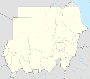
The Gebel al-Ain is a mountain plateau in Sudan in the south of the province of Ash-Shamaliyya on the border with North Kordofan . It is a sandstone layer that forms an elongated plateau that runs from southwest to northeast along the lower reaches of the Wadi el-Melek (called Gebel Nagaschusch in the northeast).
The Gebel al-Ain area is more fertile than the surrounding dry steppe, and is therefore a popular grazing area for the (in this area) predominantly semi-nomadic Kababish . The main grazing animals are sheep and goats.
There are numerous archaeological sites along the Gebel al-Ain, especially cemeteries from the post-Meroitic and medieval eras. The most important archaeological sites are a ruined monastery on the western slope, which can be regarded as the most south-westerly occupied outpost of the Empire of Makuria , and a round hut settlement with a defensive wall at the Bir al-Ain fountain on the south-eastern flank.
The region around the Gebel al-Ain has been researched by an archaeological survey project by the University of Münster since 2018 .
Individual evidence
- ↑ Jana Eger: A medieval monastery on the Gebel al-Ain? In: MittSAG 22, 2011, pp. 115–120 ( PDF )
- ↑ Jana Eger, Tim Karberg: New research in North Kordofan. Preliminary report on the field campaigns of the InterLINK project in 2017 and 2018 . In: MittSAG 30, 2019, pp. 131–146 ( PDF )
- ↑ Interregional Linkage Investigations in Northern Kordofan (InterLINK)

