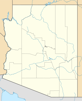
Gila Mountains
| Gila Mountains | ||
|---|---|---|
| Highest peak | Bryce Mountain ( 2219 m ) | |
| location | Graham County in Arizona (USA) | |
| part of | Central Arizona Highlands | |
|
|
||
| Coordinates | 33 ° 1 ′ N , 109 ° 40 ′ W | |
| surface | 2,750 km² | |
The Gila Mountains [ ˈhiːlə ˈmaʊntn̩z ] are a 2750 km² mountain range in Graham County in the US state of Arizona in the Central Arizona Highlands . It extends 72 km from north to south and 88 km from east to west. The highest point is Bryce Mountain with a height of 2219 m followed by Gila Peak with a height of 2021 m.
See also
- Gila Mountains (Yuma County) in Yuma County, Arizona
