Goff's Caye
| Goff's Caye | ||
|---|---|---|
| Goff's Caye | ||
| Waters | Caribbean Sea | |
| Geographical location | 17 ° 21 ′ N , 88 ° 2 ′ W | |
|
|
||
| surface | 0.5 hectares | |
| Residents | uninhabited | |
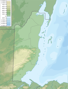
| Sketch map of Goff's Caye | ||
Goff's Caye is an island off the coast of Belize . It is one of the 450 islands of the Belize Barrier Reef . Administratively it belongs to the Belize District .
Goff's Caye is located between Belize City and the largest atoll of the Belize Barrier Reef, the Turneffe Atoll. The island is north of the English Caye Channel and almost exactly on the reef edge. It is classified as an archaeological site because there was a fishing settlement, trading post and cemetery on the island in the early modern period .
Goff's Caye was a popular getaway spot for the local population in the 1960s and 1970s. The island is now regularly visited by passengers near anchored cruise ships, for which some amenities such as a toilet, a grill and sun-protected seating have been installed. In addition to the tourist use, the area is also important as a fishing ground for local fishermen. To the north of the island are sea turtle feeding grounds . In the area there are u. a. White-bellied boobies , cormorants , terns and frigate birds .


