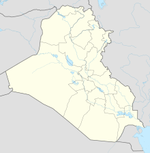
Al-Walid border crossing
Coordinates: 33 ° 26 ′ 3.4 " N , 38 ° 54 ′ 26.2" E
The al-Walid border crossing is located west of the Iraqi city of al-Walid in al-Anbar Province on the border between Iraq and Syria . It is on the route from Damascus to Baghdad . The closest border crossing from Iraq to Syria is the al-Qa'im border crossing .
The border crossing was captured by the Islamic State on May 21, 2014 after the crossing at al-Tanf on the Syrian side was captured. The region around Palmyra had previously fallen to IS. The transition was of strategic importance for ISIS for the transfer of soldiers and weapons between the western Iraqi al-Anbar governorate and the Syrian governorate Homs .
IS had to withdraw in mid-March 2016.
Individual evidence
- ↑ Jihadists conquer another border crossing to Syria , June 23, 2014, Frankfurter Allgemeine Zeitung
- ↑ http://english.alarabiya.net/en/News/middle-east/2015/05/21/Fire-erupts-in-Al-Waleed-crossing-between-Syria-Iraq-.html
- ↑ Arms to Syria: Iraqis leave IS important border posts. In: Spiegel Online . May 24, 2015, accessed June 10, 2018 .
