Hyōnosen-Ushiroyama-Nagisan-Quasi-National Park
|
Hyōnosen-Ushiroyama-Nagisan-Quasi-National Park
|
||
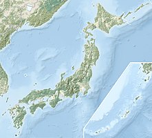
| location | Hyogo Prefecture / Tottori Prefecture / Okayama Prefecture , Honshū , Japan | |
| surface | 488.03 km² | |
| WDPA ID | 3266 | |
| Geographical location | 35 ° 20 ' N , 134 ° 29' E | |
|
|
||
| Setup date | April 10, 1969 | |
| administration | Hyogo Prefecture , Tottori Prefecture , Okayama Prefecture | |
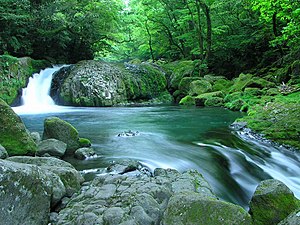
The Hyōnosen-Ushiroyama-Nagisan-Quasi-National Park ( Japanese 氷 ノ 山 後 山 那 岐山 国 定 公園 , Hyōnosen Ushiroyama Nagisan kokutei kōen ) is a quasi-national park in Japan . The park, founded on April 10, 1969, covers an area of approx. 488 km². The quasi-national park is divided into three areas around the mountains that give it its name:
With the IUCN Category V, the park area is classified as a Protected Landscape / Protected Marine Area . The prefectures of Hyōgo , Tottori and Okayama are responsible for the management of the park.
gallery
The Hyōnosen as seen from Wakasa (Tottori)
The nagisan
See also
Web links
Commons : Hyōnosen-Ushiroyama-Nagisan-Quasi-National Park - Collection of pictures, videos and audio files


