Ilha Grande do Gurupá
| Ilha Grande do Gurupá | ||
|---|---|---|
| Satellite image of the Amazon estuary with Marajó and Gurupá | ||
| Waters | Amazon | |
| Geographical location | 1 ° 0 ′ S , 51 ° 30 ′ W | |
|
|
||
| length | 129 km | |
| width | 45 km | |
| surface | 4th 864 km² | |
| main place | Itatupã | |
| Map of the Amazon estuary | ||
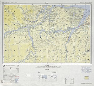
The Ilha Grande do Gurupá is the second largest river island in the Amazon after Marajó . The 4864 square kilometer island is located in the delta of the Amazon, just below its confluence with the Rio Xingu some 50 km west of the neighboring island of Marajó and from smaller by several river islands and arms separately. The main town Itatupã is in the north of the island.
Gurupá belongs to the province of Pará .


