Isolation point
| Isolation point | ||
|---|---|---|
|
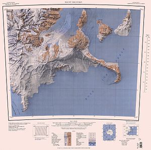
Map of White Island (top right) with Isolation Point |
||
| height | 510 m | |
| location | Ross Dependency , East Antarctica | |
| Coordinates | 78 ° 11 ′ 0 ″ S , 167 ° 30 ′ 0 ″ E | |
|
|
||
The insulation Point is a small and 510 m high volcanic peaks , of the ice sheet at the southeast end of White Iceland in the East Antarctic Ross Archipelago breaks.
Participants in the New Zealand Geological Survey Antarctic Expedition campaign, which ran from 1958 to 1959, named it after its isolated location.
Web links
- Isolation Point in the Geographic Names Information System of the United States Geological Survey (English)
- Isolation Point on geographic.org (English)

