Jølstravatnet
| Jølstravatnet | ||
|---|---|---|

|
||
| The Kjosnesfjord, eastern part of Jølstravatnet | ||
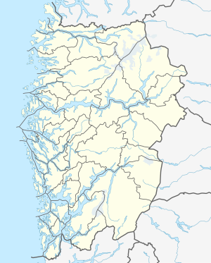
| Geographical location | Sunnfjord in Vestland ( Norway ) | |
| Drain | Jølstra → Førdefjord | |
| Data | ||
| Coordinates | 61 ° 30 ' N , 6 ° 8' E | |
|
|
||
| Altitude above sea level | 207 moh. | |
| surface | 39.01 km² | |
| length | 30 km | |
| width | 1.5 km | |
| scope | 68.48 km | |
| Maximum depth | 233 m | |
|
particularities |
The lake is regulated. The water level fluctuates between 206.1 moh and 207.35 moh. |
|
Jølstravatnet (also: Jølstravatn , Jølstervatn or Jølstervatnet ) is a Norwegian lake in the municipality of Sunnfjord in the province of Vestland . Its outflow is the Jølstra , a river not quite 20 km long that flows into the Førdefjord at Førde . The rear (eastern) part of the lake is called Kjøsnesfjord .
Web links
Commons : Jølstravatnet - collection of images, videos and audio files
References and footnotes
- ↑ The suffix "-et" is the Norwegian form of the definite neuter article . Therefore there are two forms, Jølstravatnet and Jølstravatn .


