Jaywick
Coordinates: 51 ° 47 ' N , 1 ° 7' E
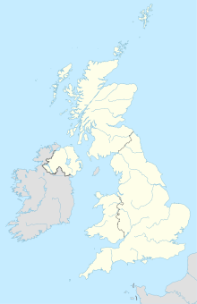
Jaywick is a village near Clacton-on-Sea in Essex . The village is on the North Sea coast . The place was originally intended to serve as a bathing resort.
history
In 1730 the city was completely flooded by a storm surge. In 1928 Jaywick was connected to the UK power grid. The St. Christophers Church was opened in 1933. In 1934 the Morocco Club was built. In the 1940s the dance hall was turned into a family club. The town was flooded again by the storm surge of 1953 . 35 people died. The Morocco Club served after this disaster as a shelter for people whose residence was destroyed. In 1981 the village had 3423 inhabitants.
One of the landmarks of Jaywick is the Mini-Railway ( German : Miniatureisenbahn). It was opened on July 31, 1936. The route was over 1 mile .
Jaywick is considered the poorest city in Great Britain.
Individual evidence
- ↑ History of the City ( Memento of the original from March 4, 2009 in the Internet Archive ) Info: The archive link was inserted automatically and has not yet been checked. Please check the original and archive link according to the instructions and then remove this notice.
- ↑ Railway - History of the City ( Memento of the original from August 10, 2007 in the Internet Archive ) Info: The archive link was inserted automatically and has not yet been checked. Please check the original and archive link according to the instructions and then remove this notice.
- ↑ Marcus Theurer: Stranded in the poorest city. In: FAZ.net . May 3, 2015, accessed October 13, 2018 .
