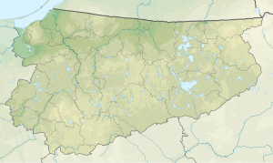
Jezioro Szymbarskie
|
Jezioro Szymbarskie house lake |
||
|---|---|---|
| Geographical location | Powiat Iławski , Warmian-Masurian Voivodeship , Poland | |
| Drain | → Młynówka → Osa | |
| Data | ||
| Coordinates | 53 ° 37 '58 " N , 19 ° 29' 36" E | |
|
|
||
| surface | 1.652 km² | |
| length | 5 km | |
| width | 600 m | |
| Maximum depth | 25.1 m | |
The Jezioro Szymbarskie (German Haussee ) is a land lake in the powiat Iławski in the Polish Warmian-Masurian Voivodeship in historic West Prussia .
The lake is approx. 5 km long (in north-south direction) and approx. 100 to 600 m wide (in east-west direction). Its area is between 146.5 ha and 165.2 ha, its maximum depth 25.1 m. It is located 300 m west of the road no. 521 , which leads from Susz ( Rosenberg ) to Iława ( German Eylau ), and belongs to the Masurian Lake District . On its north bank lies the village of Szymbark ( Schönberg ), from which the Polish name is derived. The German name Haussee occurs in many places, see definition of Haussee .
Large parts of the bank have a belt of reeds. For nature conservation reasons (quiet zone), the lake may only be entered with boats with manual or electric drive.
