Kaba (volcano)
| Kaba | ||
|---|---|---|
| height | 1952 m | |
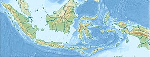
| location | Sumatra , Indonesia | |
| Coordinates | 3 ° 31 '5 " S , 102 ° 37' 55" E | |
|
|
||
| Type | Stratovolcano | |
| Last eruption | 2000 | |
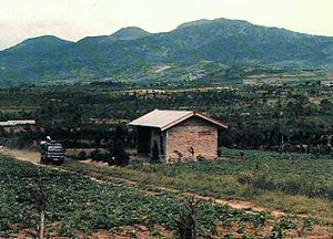
The Kaba ( Malay : Gunung Kaba) is a twin volcano on the island of Sumatra in the Hitam Mountains. It has a deepened summit crater complex, which is dominated by three historically active craters that descend east-northeast from the summit into the northeast flank. Gunung Kaba's crater, furthest to the southwest, named Kawah Lama, is the largest of them.
Most of the historical eruptions only affected the volcano's summit region. They mostly came from the central summit craters, but the Kawah Vogelsang crater on the upper northeast flank also produced eruptions during the 19th and 20th centuries. In 1833, an eruption threw water from the crater lake , triggering lahars that caused severe damage and death in the villages of Talang, Klingi and Bliti.
The Musi River , one of the largest rivers in Indonesia , has its source at Kaba .
See also
Web links
- Volcanological monitoring of Indonesia
- Kaba (Vulkan) in the Global Volcanism Program of the Smithsonian Institution (English)

