
Kaindysee
| Kaindysee | ||
|---|---|---|

|
||
| Geographical location | Almaty ( Kazakhstan ) | |
| Drain | → Schilik | |
| Data | ||
| Coordinates | 42 ° 59 '5 " N , 78 ° 27' 55" E | |
|
||
| Altitude above sea level | 1867 m | |
| length | 400 m | |
| Maximum depth | 30 m | |

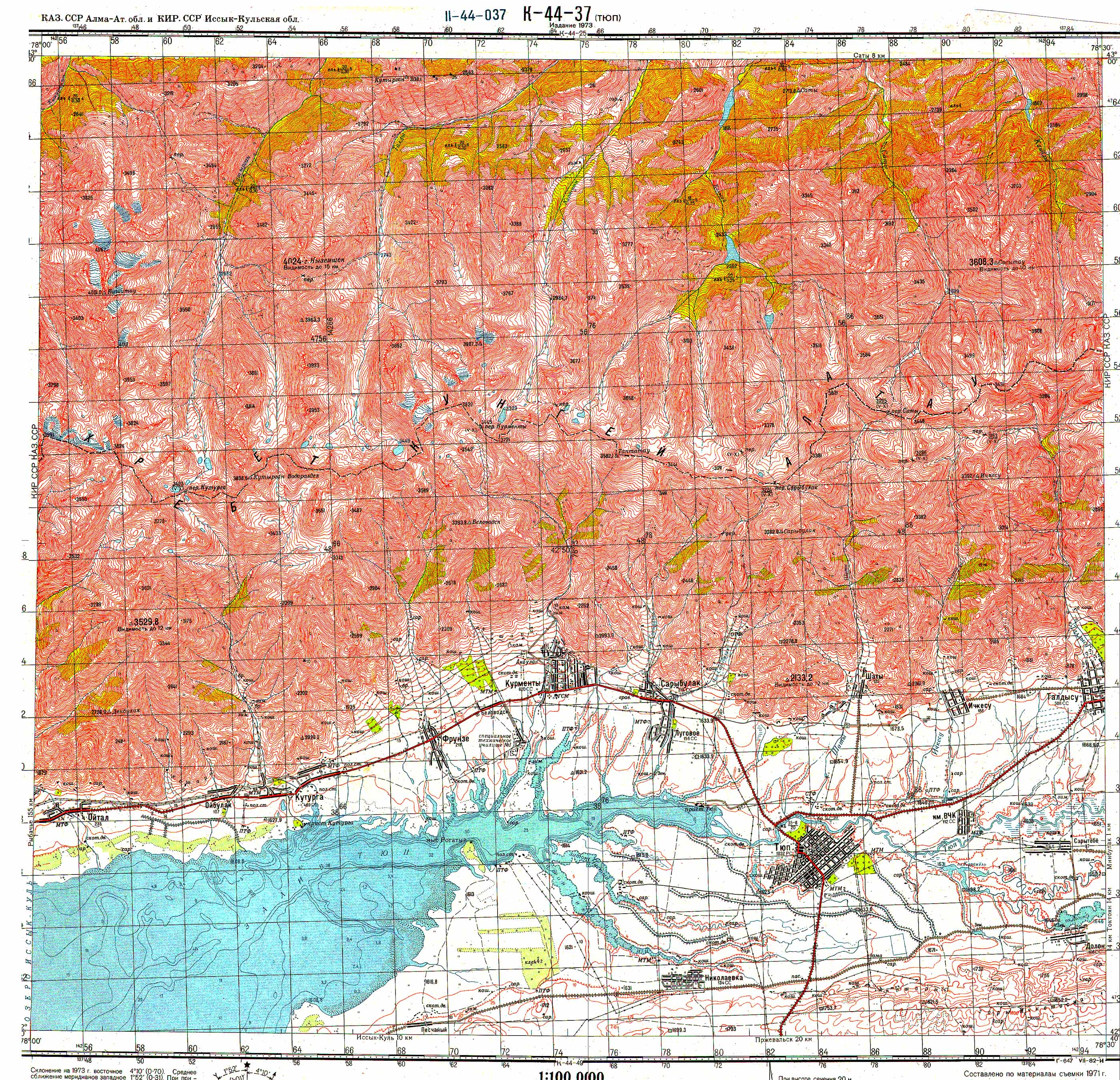
The Kaindysee ( Kazakh Қайыңды көлі Qajyngdy köli ) is a mountain lake in Kazakhstan , which is 129 kilometers southeast of the city of Almaty on the northern flank of the Kungej-Alatau . The lake is located 1867 meters above sea level in the Kolsai Lakes National Park and has a length of 400 meters. In some places it is up to 30 meters deep.
It was created in 1911 by a large landslide caused by a strong earthquake . The heap of limestone blocked the gorge to Kaindy like an artificial dam and rainwater collects in the basin. In the middle of the lake there are dead trunks of Tienschan spruce .
Web links
Commons : Kaindysee - collection of images, videos and audio files
Individual evidence
- ↑ Map sheet k-44-037 of the Soviet General Staff Map 1: 100,000