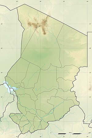
Katam lake
| Katam lake | ||
|---|---|---|

|
||
| Geographical location | Ennedi-Ouest region ; Ounianga kebir ; Sahara ; Chad | |
| Tributaries | Groundwater | |
| Drain | Evaporation , underground drainage | |
| Data | ||
| Coordinates | 19 ° 1 '0 " N , 20 ° 30' 50" E | |
|
|
||
| Altitude above sea level | 377 m | |
| length | 2.4 km | |
| width | 1 km | |
The lake katam is one of the larger lakes in Ounianga Kebir in the region Ennedi Ouest in northeastern basin of Chad . These lakes are noticeable for their north-south headlands, which are formed by the trade winds . They are the remainder of a much larger lake that made up this basin during what is known as the Green Sahara Period , which ran from around 10,000 to 1500 BC. Lasted, filled.
Hydrogeology
Katam Lake is characterized by a complex underground exchange process that it has in common with all lakes of Ounianga .
