Kemijärvi (lake)
| Kemijärvi | |||||||||
|---|---|---|---|---|---|---|---|---|---|
|
|||||||||
|
|
|||||||||
| Coordinates | 66 ° 38 ′ 0 ″ N , 27 ° 34 ′ 0 ″ E | ||||||||
| Data on the structure | |||||||||
| Construction time: | 1958-1963 | ||||||||
| Height above the river bed : | 24 m | ||||||||
| Power plant output: | 128 MW | ||||||||
| Operator: | Kemijoki Oy | ||||||||
| Data on the reservoir | |||||||||
| Altitude (at congestion destination ) | 148.8 m | ||||||||
| Water surface | 285 km² | ||||||||
| Reservoir length | 80 km | ||||||||
| Storage space | 1 150 000 000 m³ | ||||||||
| Catchment area | 25th 792 km² | ||||||||
| Seitakorva hydroelectric power station | |||||||||
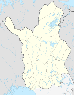
Kemijärvi is the largest lake of natural origin in the Kemijoki river system in the municipality of Kemijärvi in Finnish Lapland . The water level of the lake is regulated and fluctuates between 142 and 148.8 m. At the same time, the water area varies between 128 and 285 km². The 80 km long lake is traversed by the Kemijoki . The town of the same name Kemijärvi is located on the lake shore.
The hydroelectric power plant Seitakorva at the outflow of the Kemijärvi at ( 66 ° 24 '19.2 " N , 27 ° 19' 46.6" O ) has an installed power of 128 MW and uses a fall height of 17 to 24 m from.
See also
Individual evidence
- ↑ a b JÄRVIWIKI - Kemijärvi (yhd.)


