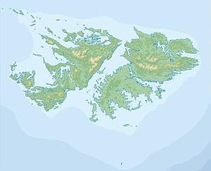
Keppel Island (Falkland Islands)
| Keppel Island | ||
|---|---|---|
| Waters | South Atlantic | |
| Archipelago | Falkland Islands | |
| Geographical location | 51 ° 19 ′ S , 59 ° 58 ′ W | |
|
|
||
| length | 10.2 km | |
| width | 6.2 km | |
| surface | 36.26 km² | |
| Highest elevation | Mt. Keppel 341 m |
|
| Residents | uninhabited | |
| main place | Keppel Island Settlement (abandoned) | |
Keppel Island ( Spanish : Isla de la Vigia ) is located between Saunders Island and Pebble Island on the northern tip of West Falkland . The highest point of the approximately 36 km² large uninhabited island, Mt. Keppel, is 341 m above sea level. The island is characterized by a large valley that divides the island into several parts.
Keppel Island is named after the British Admiral Augustus Keppel, 1st Viscount Keppel .
A sheep farm and a Christian mission were established on the island in the 19th century, which lasted until the end of 1898. Some Yámana were relocated from Tierra del Fuego on Keppel Island in the middle of the 19th century and looked after by British missionaries. The missionaries taught the Yámana how to keep sheep and taught the English language. Only the foundation walls of the mission and the huts of the South American natives have been preserved.
