Petacalco power station
| Petacalco power station | |||
|---|---|---|---|
| location | |||
|
|
|||
| Coordinates | 17 ° 58 '57 " N , 102 ° 6' 58" W | ||
| country |
|
||
| Data | |||
| Primary energy | Fossil energy | ||
| fuel | coal | ||
| power | 2100 MW | ||
| operator | Comisión Federal de Electricidad (CFE) | ||
| Start of operations | 1993 | ||
| Energy fed in 2005 | 14,275 GWh | ||
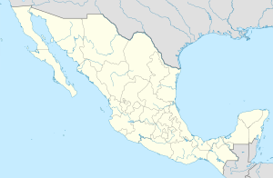
The Petacalco power plant is a coal-fired power plant located in La Unión in the Mexican state of Guerrero . With an installed capacity of 2.1 GW , consisting of six power plant blocks, it was the largest power plant in Mexico as of 2002.
The plant was commissioned in 1993 and is operated by the state power grid operator Comisión Federal de Electricidad (CFE). The power plant emits around 8 million tons of carbon dioxide (CO 2 ) each year .
The coal necessary for the power plant operation is imported, brought by ship to the unloading terminal of the power plant on the shore and from there transported to the inland power plant on a 3.5 km long belt conveyor . In 2008, the power plant was temporarily shut down due to import and delivery problems for coal.
Individual evidence
- ↑ a b c Plutarco Elias Calles (Petacalco) Thermal Power Plant. Retrieved April 9, 2015 .
- ↑ An Energy Overview of Mexico. Retrieved April 9, 2015 .
- ^ Robert-Bruce Wallace: Coal in Mexico. Retrieved April 9, 2015 .
