Kundi lake
| Kundi lake | ||
|---|---|---|

|
||
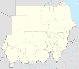
| Location of the state of Janub Darfur in Sudan | ||
| Geographical location | western Sudan | |
| Tributaries | Wadi Ibra | |
| Drain | no | |
| Location close to the shore | Nyala | |
| Data | ||
| Coordinates | 10 ° 43 ′ 0 ″ N , 25 ° 15 ′ 0 ″ E | |
|
|
||
| Altitude above sea level | 460 m | |
| surface | 20 km² | |
| Middle deep | 2-3 m | |
The Lake Kundi , also Lake Kundi called, is located south of the Sudanese town of Nyala in the state of South Darfur .
The lake is fed by the Wadi Ibra .
During periods of drought, the lake shrinks from 20 km² to an area of 1 to 2 km².
The lake flora includes water lilies , rough horn leaf ( Ceratophyllum demersum ) and the mermaid Najas pectinata .
