Laßzinssee
| Laßzinssee | ||
|---|---|---|

|
||
| Laßzinssee | ||
| Geographical location | Berlin , Germany | |
| Places on the shore | Berlin | |
| Data | ||
| Coordinates | 52 ° 35 '51 " N , 13 ° 9' 43" E | |
|
|
||
| surface | 12 ha | |
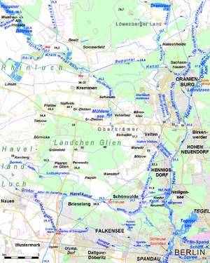
The Laßzinssee ( ) is a body of water in the Berlin district of Hakenfelde in the Spandau district .
The 12 hectare former quarry pond is not open to the public. It can be reached via the Berlin Wall Trail and can be viewed via an observation tower. The Laßzinswiesen are nearby, but already on Brandenburg territory .
View from one of the two observation towers over the Laßzinssee
Individual evidence
- ^ Hike at the NSG Rohrpfuhl and Teufelsbruch , website of the Berlin Senate Department for Urban Development and the Environment, accessed on July 15, 2013.

