Laareind
| province |
|
| local community |
|
| Coordinates | 51 ° 58 ′ N , 5 ° 36 ′ E |
| prefix | 0317 |
| Postcodes | 3911 |
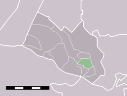
| Location of Laareind in the municipality of Rhenen | |
Laareind is a peasantry in the Dutch municipality of Rhenen , Province of Utrecht .
It is north of the Grebbeberg .
Laareind is the most easterly place in Utrecht.

