Lac Plétipi
| Lac Plétipi | ||
|---|---|---|
| Geographical location | Côte-Nord , Saguenay – Lac-Saint-Jean in Québec (Canada) | |
| Tributaries | Rivière aux Outardes , Passe Upashutshun | |
| Drain | Rivière aux Outardes | |
| Data | ||
| Coordinates | 51 ° 41 ′ N , 70 ° 6 ′ W | |
|
|
||
| Altitude above sea level | 505 m | |
| surface | 339 km² | |
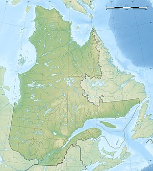
The Lake Plétipi is a lake on the border of administrative regions Côte-Nord and Saguenay-Lac-Saint-Jean in the Canadian province of Quebec .
Lac Plétipi is located on the Labrador Peninsula 75 km west-northwest of the Manicouagan reservoir . The lake is in the area of the Canadian Shield at an altitude of 505 m . Lac Plétipi is divided into an eastern and a western part. The eastern part of the lake is crossed by the Rivière aux Outardes in a southerly direction. At the north-western end of the lake, the water of the neighboring lake Lac Maublant flows over the Passe Upashutshun to Lac Plétipi. The surface of the Lac Plétipi is 339 km².
