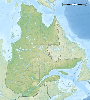
Lac Sainte-Anne
| Lac Sainte-Anne Barrage de la Toulnustouc / Centrale de la Toulnustouc |
|||||||||
|---|---|---|---|---|---|---|---|---|---|
|
|||||||||
|
|
|||||||||
| Coordinates | 50 ° 8 '27 " N , 67 ° 52' 15" W | ||||||||
| Data on the structure | |||||||||
| Lock type: | Earthfill dam | ||||||||
| Construction time: | 2003-2005 | ||||||||
| Height of the barrier structure : | 77 m | ||||||||
| Building volume: | 1 500 000 m³ | ||||||||
| Crown length: | 570 m | ||||||||
| Crown width: | 7 m | ||||||||
| Power plant output: | 526 MW | ||||||||
| Operator: | Hydro Quebec | ||||||||
Lac Sainte-Anne is a reservoir in the Côte-Nord administrative region of the Canadian province of Québec .
The original lake was dammed in 1958 by the Barrage du Lac-Sainte-Anne dam.
Between 2003 and 2005, the 77 m high Barrage de la Toulnustouc (near ⊙ ) was built 12 km downstream of the Rivière Toulnustouc and the river valley between the reservoir and the new dam was flooded.
A few kilometers downstream is the Centrale de la Toulnustouc storage power plant (at ⊙ ). It is supplied with water from the dam via a 9.8 km long tunnel at a drop height of 152 m. The installed capacity is 526 MW .
Individual evidence
- ^ Commission de toponymie du Québec - Lac Sainte-Anne
- ^ Commission de toponymie du Québec - Barrage du Lac-Sainte-Anne
- ^ Commission de toponymie du Québec - Barrage de la Toulnustouc
- ↑ Commission de toponymie du Quebec - Centrale de la Toulnustouc
- ^ Structurae - Barrage de la Toulustouc
- ^ Hydro-Québec - Hydroelectric Generating Stations

