Lake Rosebery
| Lake Rosebery Bastyan Reservoir |
|||||||||||
|---|---|---|---|---|---|---|---|---|---|---|---|
| Lake Rosebery from Tullah | |||||||||||
|
|||||||||||
|
|
|||||||||||
| Coordinates | 41 ° 44 ′ 0 ″ S , 145 ° 35 ′ 0 ″ E | ||||||||||
| Data on the structure | |||||||||||
| Construction time: | 1974-1987 | ||||||||||
| Power plant output: | 79.9 MW | ||||||||||
| Data on the reservoir | |||||||||||
| Altitude (at congestion destination ) | 190 m | ||||||||||
| Water surface | 8.5 km² | ||||||||||
| Reservoir length | 15 km | ||||||||||
| Reservoir width | 1.2 km | ||||||||||
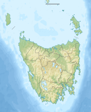
The Lake Rosebery is a reservoir in the northwest of the Australian state of Tasmania , about six kilometers northwest of the eponymous town of Rosebery . It was created by damming the Pieman River at the Bastyan Dam , which arises in it from its source rivers Mackintosh River and Murchison River .
On its east bank is the small town of Tullah , which was used by the builder and operator of the dams on the Pieman River and its tributaries as a workers' settlement during the construction phase. The Murchison Highway crosses the northeast and southeast arms of Lake Rosebery and also runs through Tullah.
The Emu Bay Railway was laid at its facility and now runs along its banks. The Wee Georgie Wood Railway , a narrow-gauge railway for transporting wood and ore, also runs near the reservoir.
swell
- Marriott Hepper & Ass. (1984) Lake Rosebery recreation development plan . Hobart TAS (1984). ISBN 1862525153
- Map of Lake Rosebery, TAS . Bonzle.com

