Lake Rowallan
| Lake Rowallan | |||||||||
|---|---|---|---|---|---|---|---|---|---|
|
|||||||||
|
|
|||||||||
| Coordinates | 41 ° 46 '58 " S , 146 ° 12' 31" E | ||||||||
| Data on the structure | |||||||||
| Data on the reservoir | |||||||||
| Altitude (at congestion destination ) | 480 m | ||||||||
| Water surface | 9.4 km² | ||||||||
| Reservoir length | 10.5 km | ||||||||
| Reservoir width | 1.5 km | ||||||||
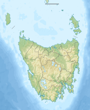
The Rowallan Power Station is an artificial lake in the center of the Australian state of Tasmania .
It is located on the upper reaches of the Mersey River between the northern part of the Cradle Mountain Lake St. Clair National Park and the northern part of the Walls of Jerusalem National Park . In it the Fish River flows into the Mersey River.
At its northern end, below the dam, is the Rowallan settlement .
Sources and web links
- Lake Rowallan - TAS . ExplorOz.com
- Map of Lake Rowallan, TAS . Bonzle.com
- Steve Parish: Australian Touring Atlas . Steve Parish Publishing, Archerfield QLD 2007. ISBN 978-1-74193-232-4 . P. 60
