Le Maire Street (Cape Horn)
| Le Maire Street | ||
|---|---|---|
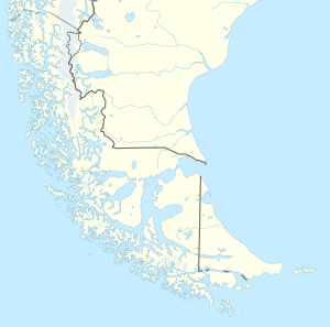
| The Cape Horn area with the Le Maire road | ||
| Connects waters | Atlantic Ocean | |
| with water | Drake Street | |
| Separates land mass | Isla de los Estados | |
| of land mass | Isla Grande de Tierra del Fuego | |
| Data | ||
| Geographical location | 54 ° 50 ′ S , 64 ° 55 ′ W | |
|
|
||
| Smallest width | 30.6 km | |
The Le Maire Strait ( Spanish Estrecho de le Maire ) is a sea route between the Isla de los Estados and the easternmost foothills of the Argentine part of Tierra del Fuego , the Miter Peninsula . It is 34 nm long and 30.6 km wide at the narrowest point.
Jacob Le Maire and Willem Schouten discovered the road on January 24, 1616 while they were looking for a navigable connection between the Atlantic and the Pacific . The search was necessary because they were not allowed to pass through the Strait of Magellan . A few days later, on January 29th, they discovered Cape Horn . The street was later named in honor of Le Maire.


