Lilydale (Tasmania)
| Lilydale | |||||||
|---|---|---|---|---|---|---|---|
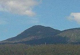
 Mount Arthur southeast of Lilydale |
|||||||
|
|||||||
|
|||||||
|
|||||||
|
|||||||
|
|
|||||||
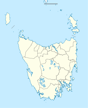
Lilydale , originally called Germantown , is a small town in the northeast of the Australian state of Tasmania . It is located 28 kilometers northeast of Launceston , 10 kilometers northwest of Mount Arthur and belongs to the Local Government Area Launceston City . The 2016 census counted 277 residents.
Name origin
The town of Germantown (or Upper Piper ) was renamed Lilydale in 1887 at the suggestion of E. Kowarzic , head of the Tankerville Road Trust , because he noticed that the churches there were always decorated with Christmas lilies , for which the region still today is known.
Attractions
The most famous sights are Lilydale Falls , two small waterfalls, Mount Arthur and a series of painted telegraph poles along the main street.
Sports
Since 2011 Lilydale has had her own Australian football ceramic, a bowl team and a small boxing club. There is also an outdoor swimming pool.
North-Eastern Railway
Lilydale and the neighboring parishes of Karoola and Turners Marsh are on the Launceston to Scottsdale railway line , which opened on September 9, 1889.
Individual evidence
- ↑ a b Australian Bureau of Statistics : Lilydale (L) ( English ) In: 2016 Census QuickStats . June 27, 2017. Retrieved April 2, 2020.
- ↑ HJW Stokes: The North Eastern Line of the Tasmanian Government Railways . Australian Railway Historical Society Bulletin (March / April 1997). Pp. 67-77; 107-121

