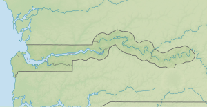
Little Pappa Island
| Little Pappa Island | ||
|---|---|---|
|
NASA World Wind satellite image The Gambia flows in this image section in a westerly direction. Little Pappa Island is the small island in the southern channel. |
||
| Waters | Gambia (river) | |
| Geographical location | 13 ° 37 ′ 58 ″ N , 15 ° 14 ′ 19 ″ W | |
|
|
||
| length | 1.6 km | |
| width | 320 m | |
| surface | 38 ha | |
| Residents | uninhabited | |
Little Pappa Island is an inland island in the Gambia River in the West African state of Gambia .
The uninhabited 38-hectare island is located immediately south of the larger Pappa Island . It is around 1,600 meters long and 320 meters wide. On the north side of the island, the Gambia is around 60 meters wide, on the south side around 70 meters.
See also
literature
- Stephen C. Stringall, Dody Broyles: Gambia. International Travel Maps, Vancouver 2003, ISBN 1-55341-217-6 (map, 96 × 61 cm, 1: 350,000).

