Mahmilch Viaduct
Coordinates: 51 ° 52 ′ 49 ″ N , 9 ° 59 ′ 27 ″ E
| Mahmilch Viaduct | ||
|---|---|---|
| Convicted | High-speed line from Hanover to Würzburg | |
| place | Bad Gandersheim | |
| overall length | 200 m | |
| opening | 1991 | |
| location | ||
|
|
||
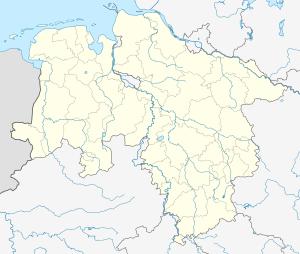
The Mahmilch valley bridge is a 200 m long railway bridge on the high-speed line Hanover – Würzburg northwest of the Lower Saxony city of Bad Gandersheim .
The building crosses the Mahmilch and therefore bears her name.
course
The bridge lies between the route kilometers 59.998 and 60.198. The route runs on the bridge in a southerly direction in a left curve.
To the north, after a short dam and an incision , the Helleberg tunnel joins. To the south, after a short dam and an incision, the Wadenberg tunnel follows .
The southern abutment of the eight-span structure and the adjoining dam were made flat (with slopes of about 1: 3 or 1: 7) in order to achieve a better integration into the landscape.
history
In the planning and construction phase, the structure was on the northern edge of the planning approval section 2.12 of the route.
According to the Lower Saxony Nature Conservation Act, which came into force on July 1, 1981, a compensatory measure was created as part of the construction work . A wet biotope was created east of the route , and a shallow water zone was created on both sides of the Mahmilch.
