
Makale (Tana Toraja)
| Kecamatan Makale Makale district
|
|
|---|---|
| Basic data | |
| Country | Indonesia |
| province | South Sulawesi |
| Administrative district | Tana Toraja |
| surface | 39.8 km² |
| Residents | 32,257 (February 28, 2010) |
| density | 811 inhabitants per km² |
| ISO 3166-2 | ID-SN |
 |
|
Coordinates: 3 ° 6 ′ 17 ″ S , 119 ° 51 ′ 12 ″ E
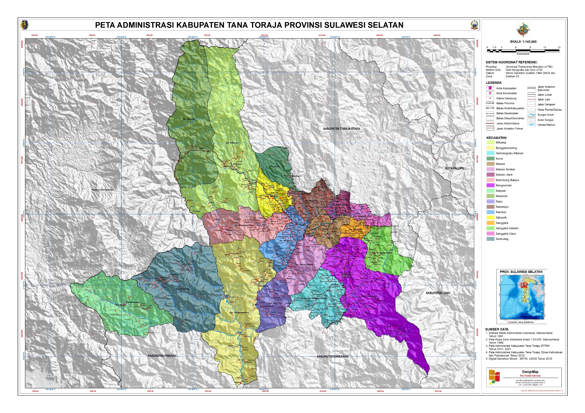
Makale is an Indonesian district ( Kecamatan ) on the island of Sulawesi. It is located in the east of the Tana Toraja Government District ( Kabupaten ) in the South Sulawesi Province . The main town is the Makale of the same name .
Administrative division
| "Village" (Lembang / Kelurahan) | surface | Sea level | Residents |
|---|---|---|---|
| Manggau | 4.35 km² | 780 m | 1,480 |
| Bombongan | 2.73 km² | 760 m | 4,666 |
| Batu Papan | 2.40 km² | 789 m | 1,509 |
| Tarongko | 2.12 km² | 784 m | 1,639 |
| Pantan | 1.03 km² | 769 m | 2,948 |
| Ariang | 3.35 km² | 880 m | 2,724 |
| Lamunan | 3.88 km² | 780 m | 3,368 |
| Tondon Mamullu | 1.74 km² | 770 m | 4,487 |
| Rante | 4.60 km² | 883 m | 2147 |
| Buntu Burake | 1.10 km² | 846 m | 1,976 |
| Kamali Pentalluan | 1.02 km² | 769 m | 2,935 |
| Botang | 1.65 km² | 817 m | 1,498 |
| Tampo | 3.65 km² | 862 m | 1,553 |
| Lea (Lembang) | 4.13 km² | 951 m | 819 |
| Lapandan | 2.00 km² | 803 m | 1,458 |

| |
Location in eastern Indonesia |
The district is divided into a Lembang and 14 Kelurahans .
Web links
Commons : Makale - collection of images, videos and audio files