Mamelles Island
| Mamelles Island | ||
|---|---|---|
| Waters | Indian Ocean | |
| Archipelago | Inner Seychelles Islands | |
| Geographical location | 4 ° 29 '3 " S , 55 ° 32' 22" E | |
|
|
||
| length | 300 m | |
| width | 210 m | |
| surface | 6 ha | |
| Highest elevation | South Hill 42 m |
|
| Residents | uninhabited | |
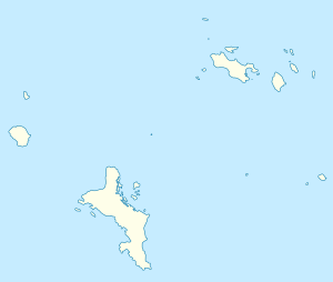
| Mamelle Island on the Seychelles map | ||
Mamelles Island is an island in the Indian Ocean that belongs to the Seychelles . The island has an area of six hectares and is uninhabited. There is a lighthouse on the island that was completed in 1912 and is still in operation today.
geography
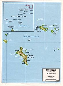
The island is geographically part of the granitic Inner Islands and is located 13 kilometers northeast of the main island of Mahé , and 7.5 km northeast of the small Brisan Rocks . Administratively it belongs to the Glacis district (Seychelles) on the northern tip of the main Seychelles island of Mahé .
Surname
The name of the island is derived from the French word "mamelle", which means " breast ". The name originated from the relief of the island, with one elevation each in the south and in the north of the island.
Web links
Individual evidence
- ↑ Mamelle Island, Seychelles - Geographical Names, map, geographic coordinates. Retrieved September 21, 2017 .
- ↑ Mamelle Island. Accessed September 21, 2017 .
- ↑ Mamelles. Accessed September 21, 2017 .
- ^ Lighthouses of Seychelles. Retrieved September 21, 2017 .

