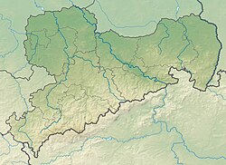
Menhir complex from Grimma
| Menhir complex from Grimma At the high stone | ||
|---|---|---|
|
|
||
| Coordinates | 51 ° 14 '21.7 " N , 12 ° 42' 50.6" E | |
| place | Grimma , Saxony , Germany | |
The Menhiranlage von Grimma , also called Am hoch Stein , was a group of presumably prehistoric menhirs in Grimma in the district of Leipzig . In 1944 the facility was destroyed.
location
The facility was located on the outskirts of Grimma, on the old Oberleipziger Weg, on the border between Grethen and Beiersdorf . Another boulder was erected on the opposite side of the street after the facility was destroyed.
description
On a hill there was a central erect boulder with a height of about 120 cm. A row of smaller stones was arranged around it. Finds from the band ceramics , the Full Bronze Age and the Iron Age come from the area around the complex .
literature
- Hans-Jürgen Beier : The megalithic, submegalithic and pseudomegalithic buildings and the menhirs between the Baltic Sea and the Thuringian Forest (= contributions to the prehistory and early history of Central Europe. Volume 1). Wilkau-Haßlau 1991, p. 71.
- Waldtraut Schrickel : Western European elements in the Neolithic and the Early Bronze Age of Central Germany. Part 1. Catalog Leipzig 1957, p. 71.
