Naresland
| Naresland | ||
|---|---|---|
| MODIS satellite image of North Greenland with Naresland in the northwest | ||
| Waters | Lincoln lake | |
| Geographical location | 82 ° 25 ′ N , 46 ° 6 ′ W | |
|
|
||
| length | 75 km | |
| width | 30 km | |
| surface | 1 466 km² | |
| Highest elevation | Blåfjeld 1067 m |
|
| Residents | uninhabited | |
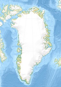
| Map of North Greenland with Naresland in the northwest | ||
Naresland ( Danish Nares Land ) is the eighth largest island in Greenland with an area of 1466 km² and the largest island off the north coast of this autonomous nation. Administratively it belonged to the province of Avannaa ("North Greenland") until the end of 2008 , and since 2009 to the non-parish area of the Northeast Greenland National Park .
The island is named after the British navigator and polar explorer Sir George Nares , who was the first to pass from Baffin Bay into the Arctic Ocean .
geography
Naresland is located a few kilometers off the northwest coast of Greenland in the Lincoln Sea , a marginal sea of the Arctic Ocean. The island is about 75 km long and up to 30 km wide; its highest point is given as 1067 meters above sea level. Naresland is surrounded by pack ice almost all year round.
See also
Individual evidence
- ↑ a b UNEP Islands (English)


