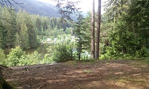
Natterer See
| Natterer See | ||
|---|---|---|

|
||
| Natterer See western side photographed from the north | ||
| Geographical location | Innsbruck-Land district , Tyrol , Austria | |
| Drain | → Geroldsbach → Inn | |
| Location close to the shore | Natters | |
| Data | ||
| Coordinates | 47 ° 14 '14.2 " N , 11 ° 20' 28.5" E | |
|
|
||
| Altitude above sea level | 830 m above sea level A. | |
| surface | 3.5 ha | |
| volume | 84,000 m³ | |
| Maximum depth | 3.5 m | |
| Middle deep | 1.3 m | |
The Natterer See is located 2.5 km west of Natters at an altitude of 830 m. In summer the lake is open for swimming (subject to a fee). With an area of 3.5 hectares, it is one of the larger lakes in the low mountain range near Innsbruck . Numerous hiking trails lead around the lake.
Despite its moor water , the lake has an excellent water quality of level I. Reed regions on the banks and the supply of underground fresh water keep the exposure to bath oils etc. within limits in summer. Different species of carp live in the lake .
The lake has been designated as a bathing lake for 80 years.

