New Kent
| New Kent | ||
|---|---|---|
 |
||
| Location in Virginia | ||
|
|
||
| Basic data | ||
| State : | United States | |
| State : | Virginia | |
| County : | New Kent County | |
| Coordinates : | 37 ° 31 ′ N , 77 ° 0 ′ W | |
| Time zone : | Eastern ( UTC − 5 / −4 ) | |
| Residents : | 239 (as of 2010) | |
| Population density : | 20.6 inhabitants per km 2 | |
| Area : | 11.6 km 2 (approx. 4 mi 2 ) | |
| Postal code : | 23124 | |
| Area code : | +1 804 | |
 |
||
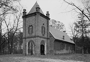
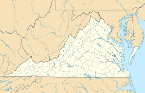
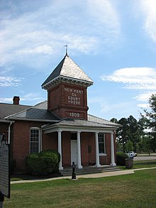
New Kent is a community-free area and census-designated place ( CDP ) and the seat of the county of the same name in the US state of Virginia .
The indigenous people of the region east of Richmond are the Chickahominy .


