Nordhordlandsbrua
Coordinates: 60 ° 31 ′ 28 ″ N , 5 ° 15 ′ 50 ″ E
| Nordhordlandsbrua | ||
|---|---|---|
| The bridge's only pylon | ||
| use | Road bridge | |
| Convicted | Europastrasse 39 | |
| Crossing of | Salhusfjord | |
| place | Salhus , Hordvik | |
| construction | Cable-stayed bridge | |
| overall length | 1614 m | |
| Longest span | 172 m | |
| height | 99 m (325 ft) | |
| Clear height | 32 m | |
| opening | September 1994 | |
| toll | toll-free | |
| location | ||
|
|
||
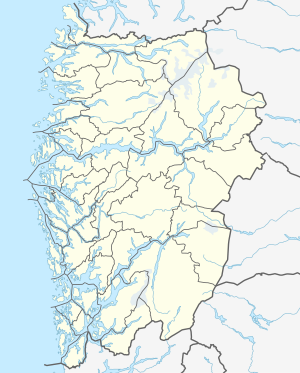
The Nordhordlandsbrua ( German Nordhordlandsbrücke ) is a free-floating pontoon bridge combined with a cable-stayed bridge . The bridge, opened in 1994, is located in Vestland in western Norway .
History of the bridge
The structure bridges the Salhusfjord and connects the municipality of Salhus / Hordvik with the island of Flatøy in Nordhordland and thus the islands behind with the heartland and the city of Bergen . It is on Europastraße 39 . After the toll was lifted at the end of 2005, the number of vehicles driving over the bridge every day rose by more than 50 percent (to over 13,000 daily in 2007).
On June 6, 2019, the cement freighter Framfjord collided with the Nordhordlandsbrua. There was no major damage to the bridge.
Technical specifications
The bridge, built in 1991–1994, is 1614 m long (and not, as many sources stated, 1610 m,) the clearance under the bridge is 11 to 32 m.
With a length of 1,246 m, the floating bridge section is the world's longest pontoon bridge without side anchoring. The longest span, 172 m, is the part of the cable-stayed bridge, which is suspended at 19 points. The bridge superstructure has a maximum span of 113.25 m between the pontoons.
Individual evidence
- ↑ www.nordhordland.no/Brua er gratis (Norwegian)
- ↑ esy.org, June 2019, accessed January 18, 2020
- ↑ de.structurae.de/data
- ↑ Brupro project tok 15 år
- ↑ a b de.locr.com , with a location map
- ↑ See e.g. B. visithordaland.com


