Paagussat
| Paagussat | ||
|---|---|---|
| Waters | Tasiusaq Bay , Baffin Bay , Atlantic Ocean | |
| Archipelago | Upernavik archipelago | |
| Geographical location | 73 ° 21 '10 " N , 56 ° 12' 30" W | |
|
|
||
| length | 4.5 km | |
| width | 3.1 km | |
| surface | 6.7 km² | |
| Highest elevation | 200 m | |
| Residents | uninhabited | |
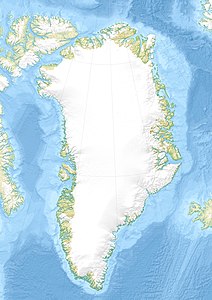
Paagussat (according to the old spelling Pâgússat , German the pegged ) is an uninhabited island in the district of Upernavik in the Avannaata Kommunia , Greenland .
geography
Paagussat is located on the outer edge of Tasiusaq Bay , in the central part of the Upernavik archipelago . The Ikerasak separates the island from Uigorlersuaq in the north and Tasiusaq in the east. In addition, the waterways separate the Paagussat Bay in the southwest from Illunnguit . The highest point is an unnamed point in the central part of the island with a height of 200 meters.
