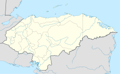
Parque Nacional Pico Bonito
| Parque Nacional Pico Bonito | ||
|---|---|---|
|
|
||
| Location: | Atlántida , Honduras | |
| Next city: | La Ceiba | |
| Surface: | 1073 km² | |
| Founding: | 1993 | |
The Parque Nacional Pico Bonito is a 1073 square kilometer national park in Honduras southwest of the Caribbean coastal town of La Ceiba .
The nature reserve, 35 km long and up to 30 km wide in a west-east direction, is located in the Cordillera de Nombre de Dios and is named after its second highest peak, the centrally located Pico Bonito , 2435 m. The protection zone was established according to the Honduran law for the protection of the cloud forests , Ley de Protección de Los Bosques Nublados de Honduras , from 1987 in 1993. A mountainous landscape with rich flora and fauna extends over two departments, Atlantida and Yoro . The mountain forest is full of primates of the black howler monkey species , including at Pico Montaña Corozal (2480 m), the highest mountain in the quiet zone.
