Pincer Point
| Pincer Point | ||
|---|---|---|
|
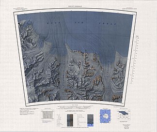
Topographic map with Pincer Point (top right) |
||
| location | Marie-Byrd-Land , West Antarctica (politically: Ross Dependency ) | |
| part of | Tapley Mountains , Queen Maud Mountains , Transantarctic Mountains | |
|
|
||
| Coordinates | 85 ° 34 ′ S , 150 ° 30 ′ W | |
The Pincer Point (English for crab claw tip ) is a narrow mountain ridge on the Gould coast of the west Antarctic Marie-Byrd-Land . At the northwest end of the Tapley Mountains , it extends 6 km east-southeast of Durham Point into the Ross Ice Shelf in a northerly direction.
Participants in the American Byrd Antarctic Expedition (1928–1930) discovered it and roughly mapped it. The Advisory Committee on Antarctic Names named it descriptively in 1967 after its appearance.
Web links
- Pincer Point in the Geographic Names Information System of the United States Geological Survey (English)
- Pincer Point on geographic.org (English)

